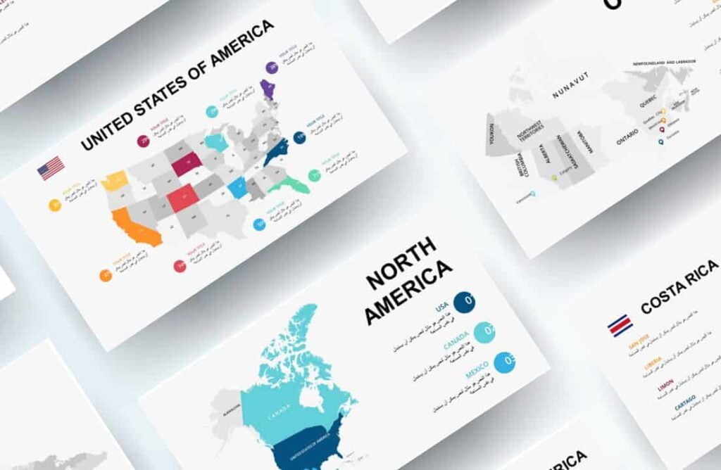
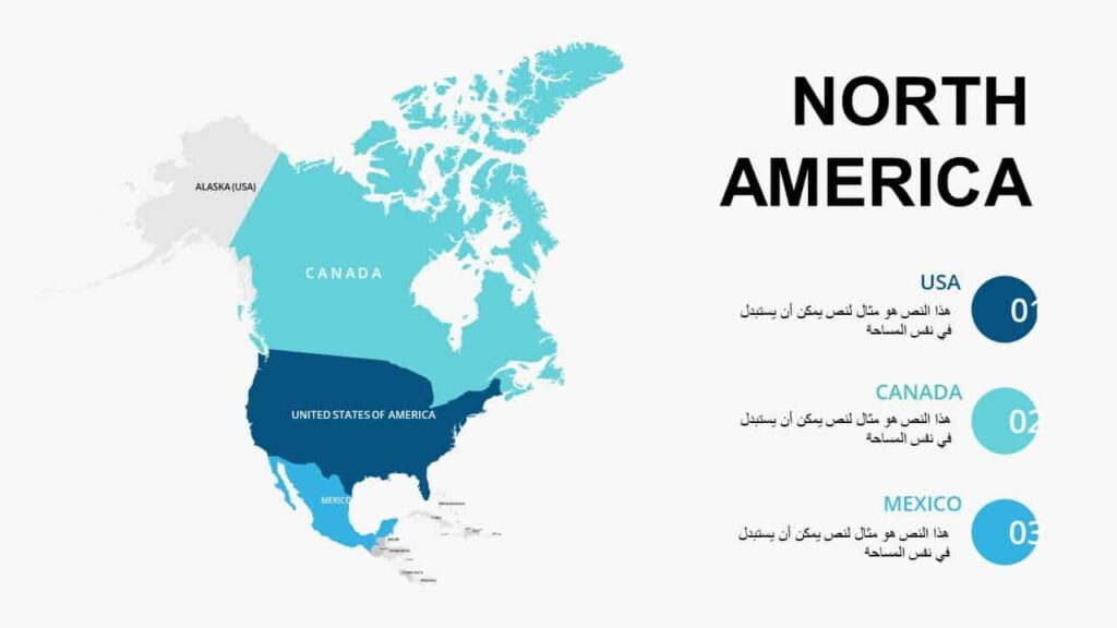
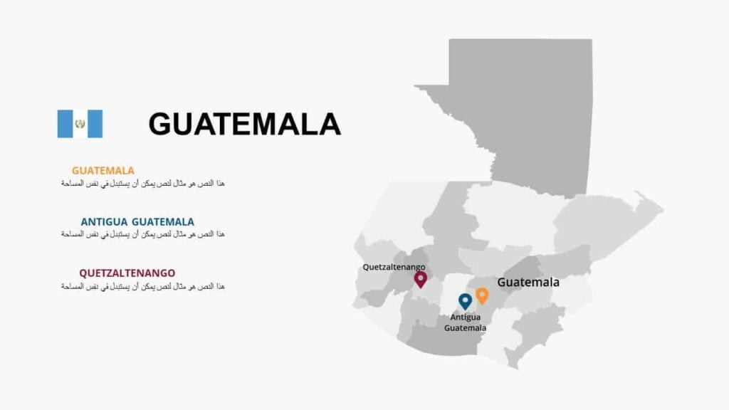
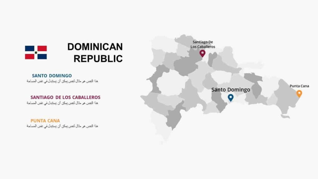
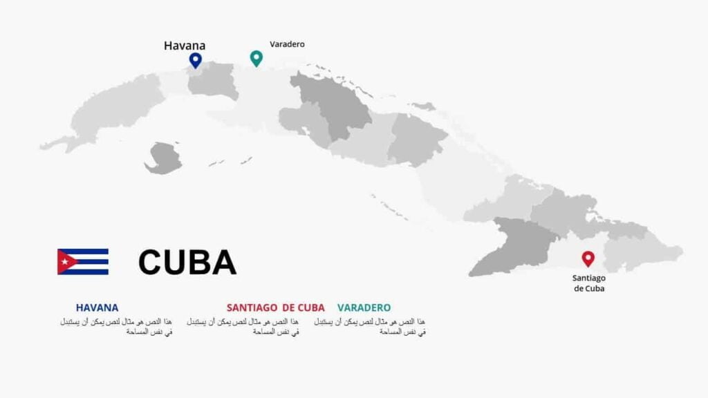
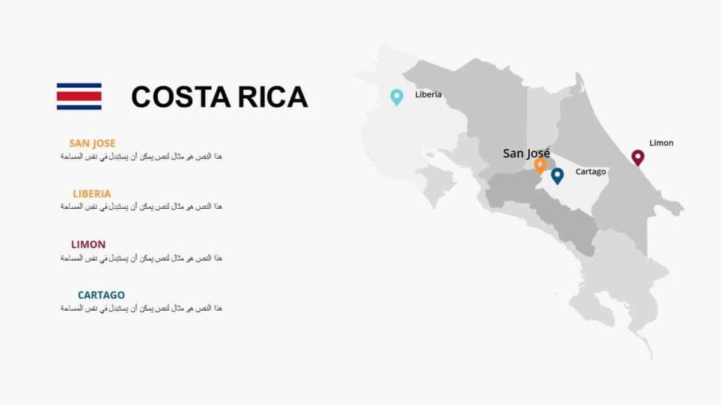
Maps of North American countries
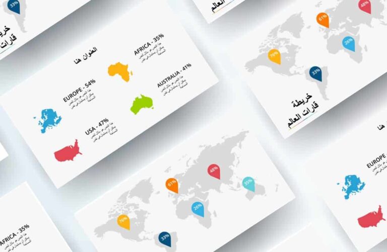
World maps
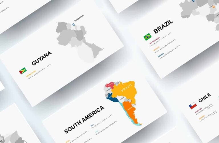
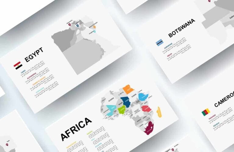
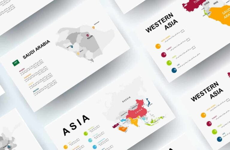
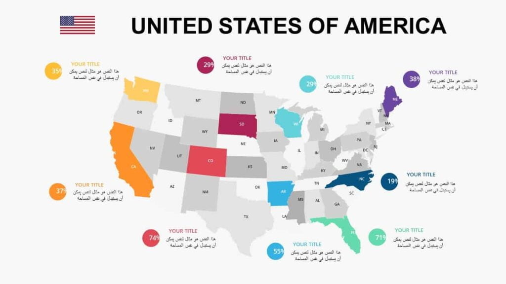
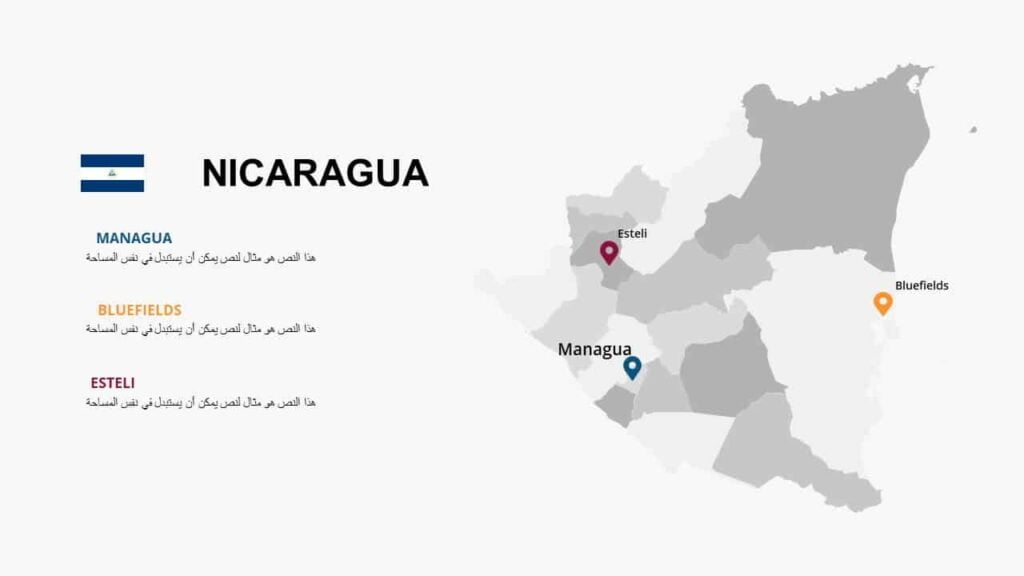
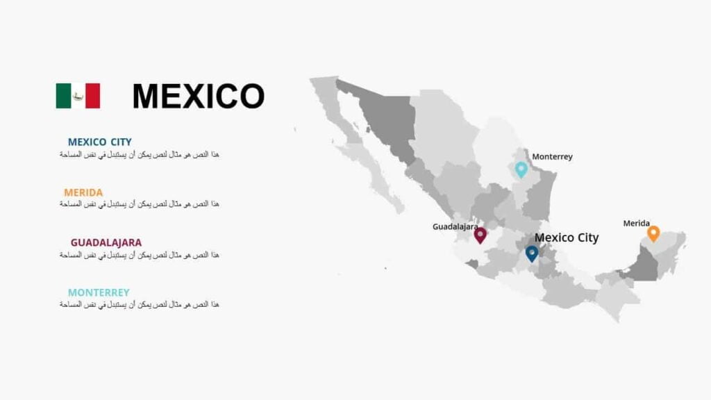
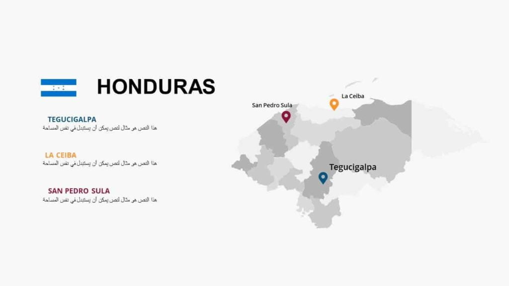
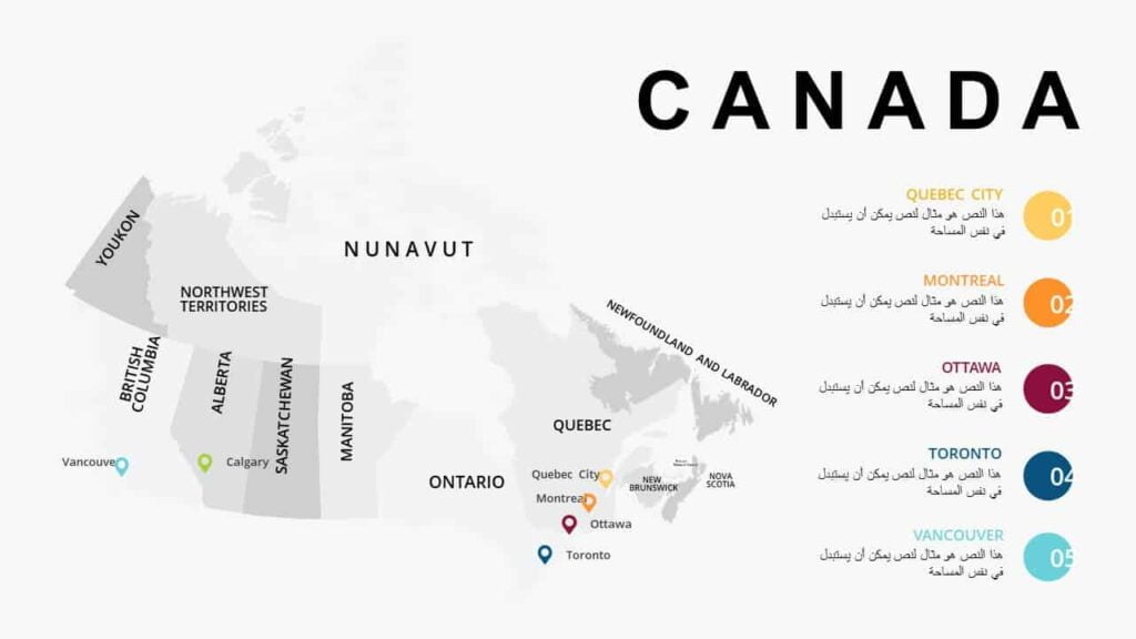
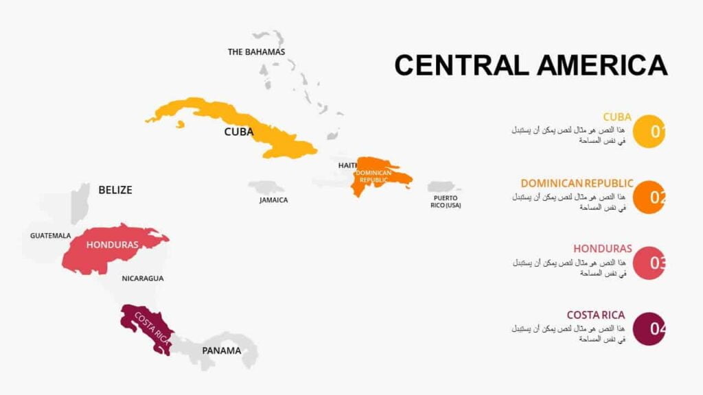
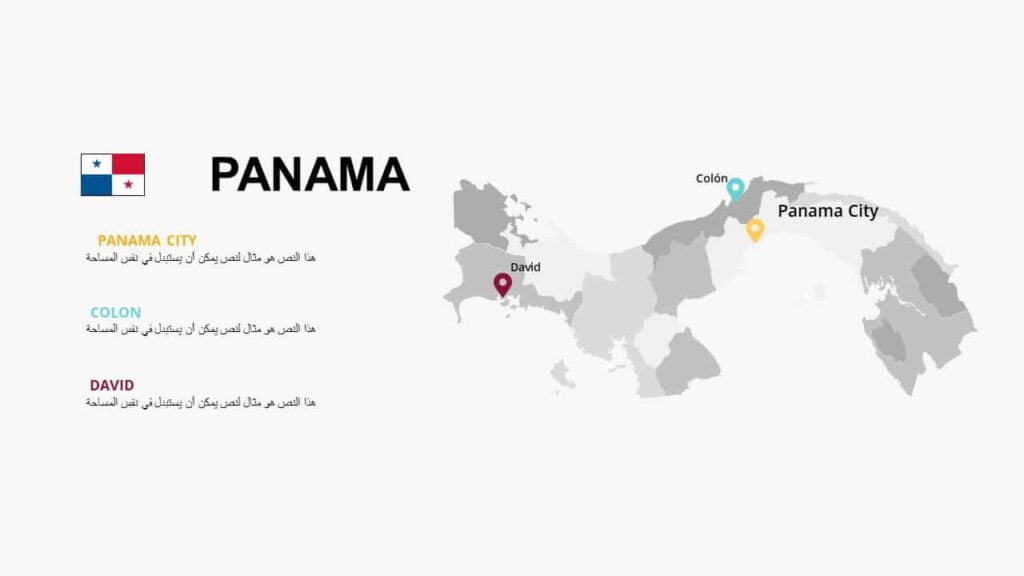
خرائط عالية الدقة لدول قارة امريكا الشمالية ، حيث تعتبر الخرائط هي إحدى الأدوات الأكثر شيوعًا والأكثر أهمية في أي عرض تقديمي ، يمكن استخدام الخرائط لإظهار الموقع أو الحجم أو البيانات المتعلقة بدولة معينة داخل الشكل ، إنها طريقة ممتازة لتوضيح نقاطك مع توفير عرض بوربوينت جذاب لجمهورك.
Maps of North American countries
To follow the latest templates and tutorials, follow Our Twitter account
This template was designed by Inggez and no one has the right to republish or distribute template files or modified versions on other sites without written permission from Inggez