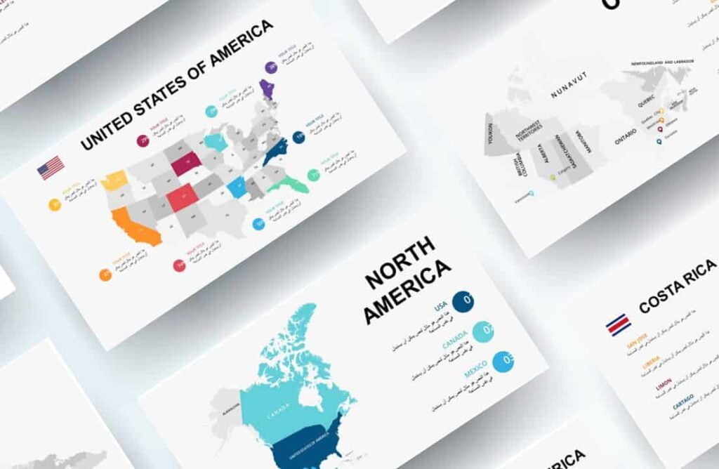
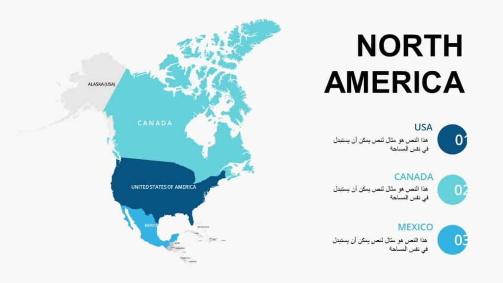
Maps of North American countries
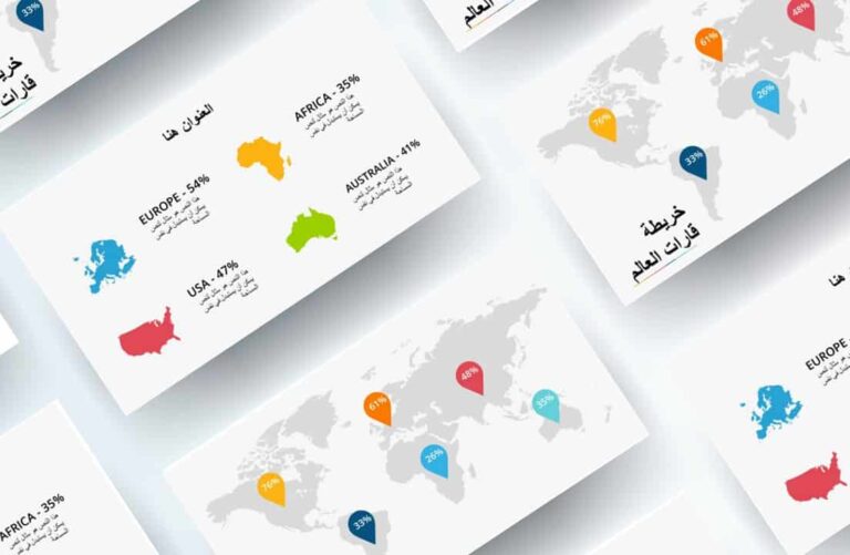
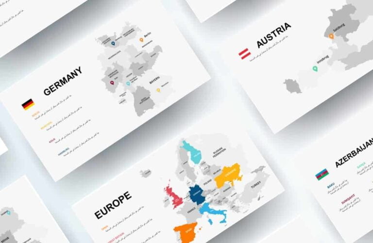
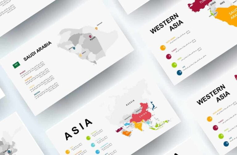
World maps
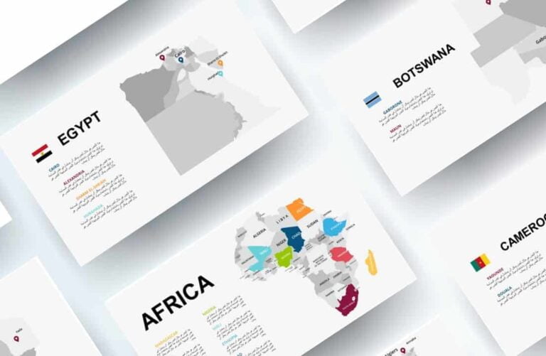
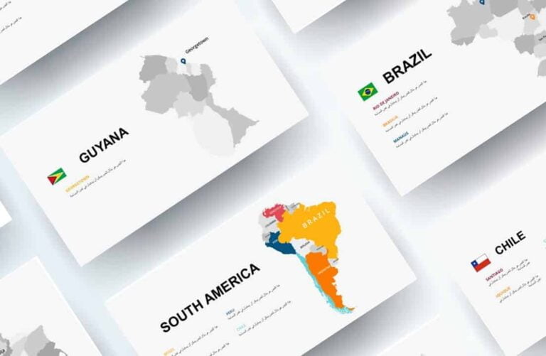
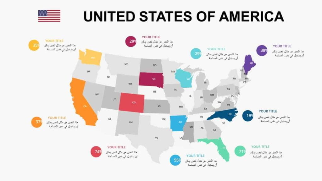
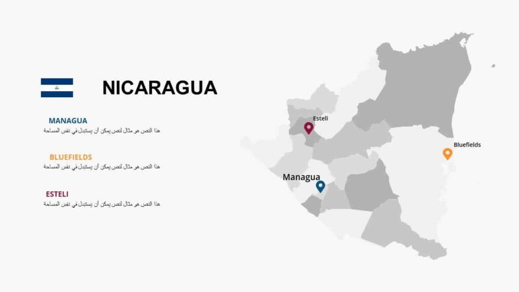
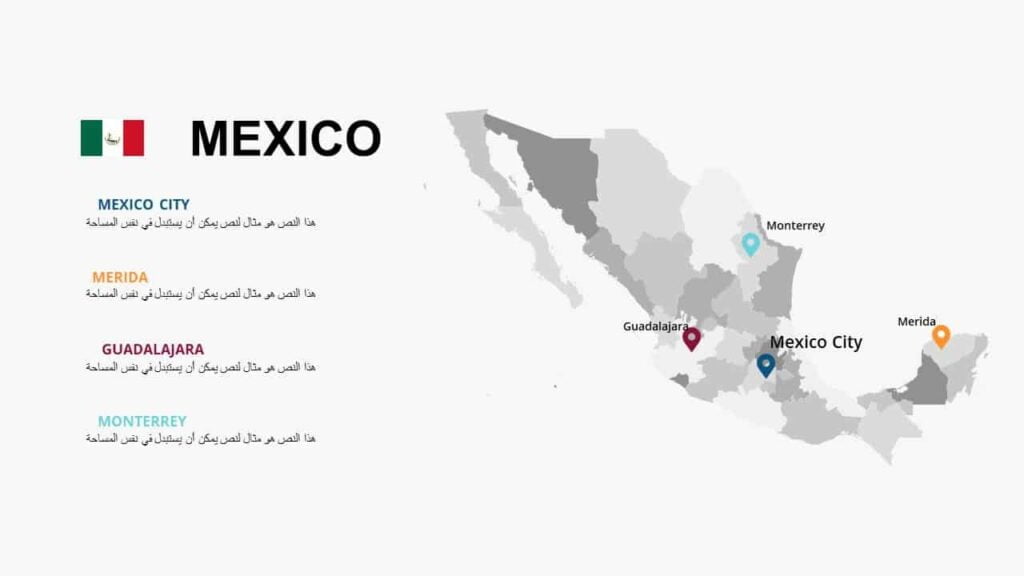
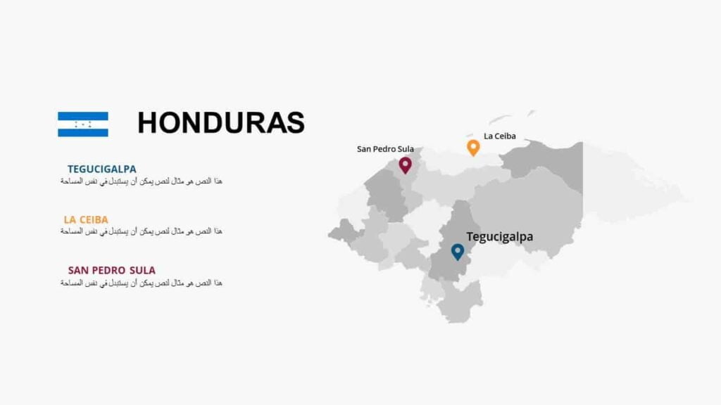
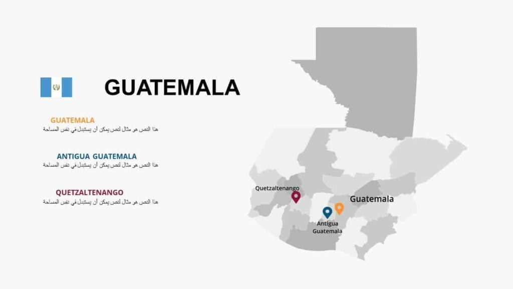
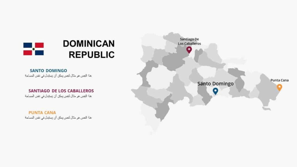
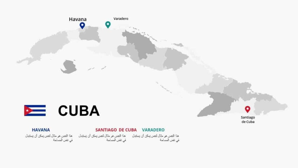
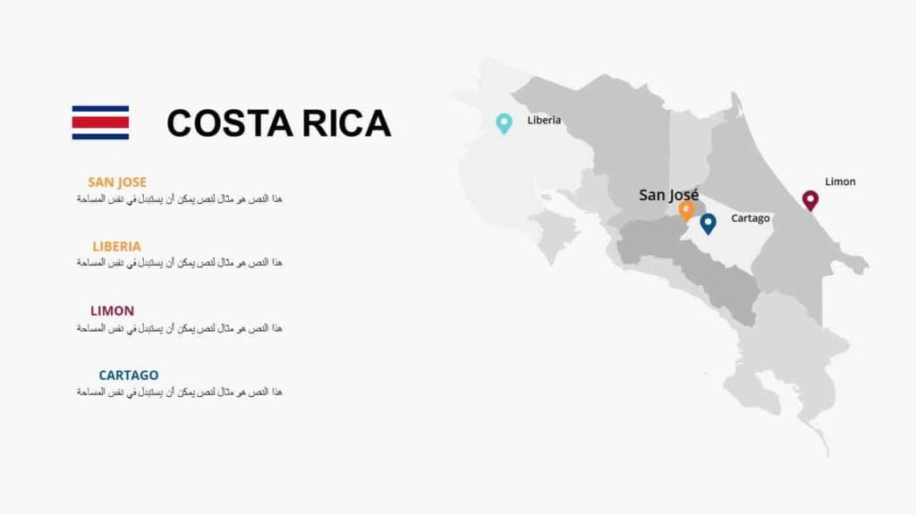
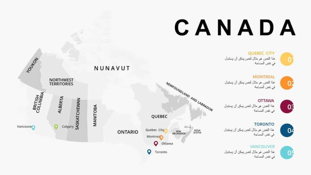
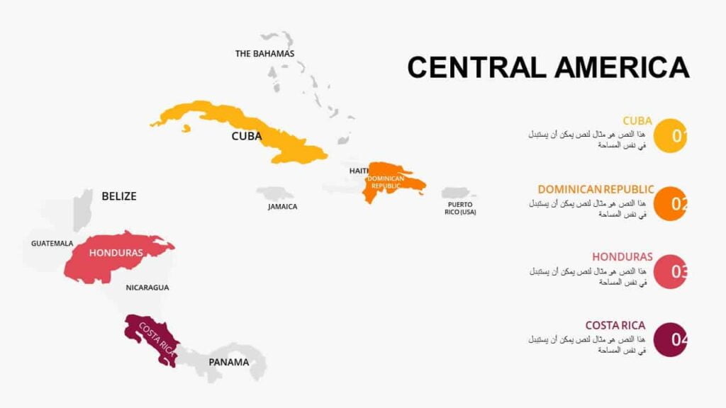
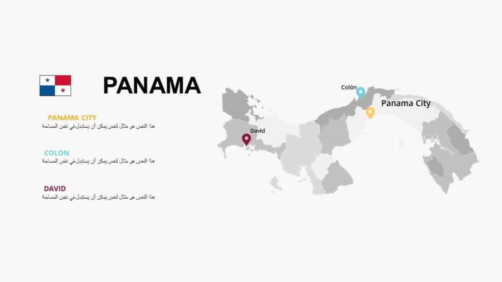
High-resolution maps of the countries of North America. Maps are one of the most common and important tools in any presentation. Maps can be used to show the location, size, or data related to a particular country within the format. They are an excellent way to illustrate your points while providing an attractive PowerPoint presentation for your audience.
Maps of North American countries
To follow the latest templates and tutorials, follow Our Twitter account
This template was designed by Inggez and no one has the right to republish or distribute template files or modified versions on other sites without written permission from Inggez