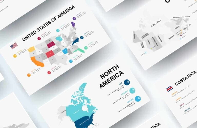
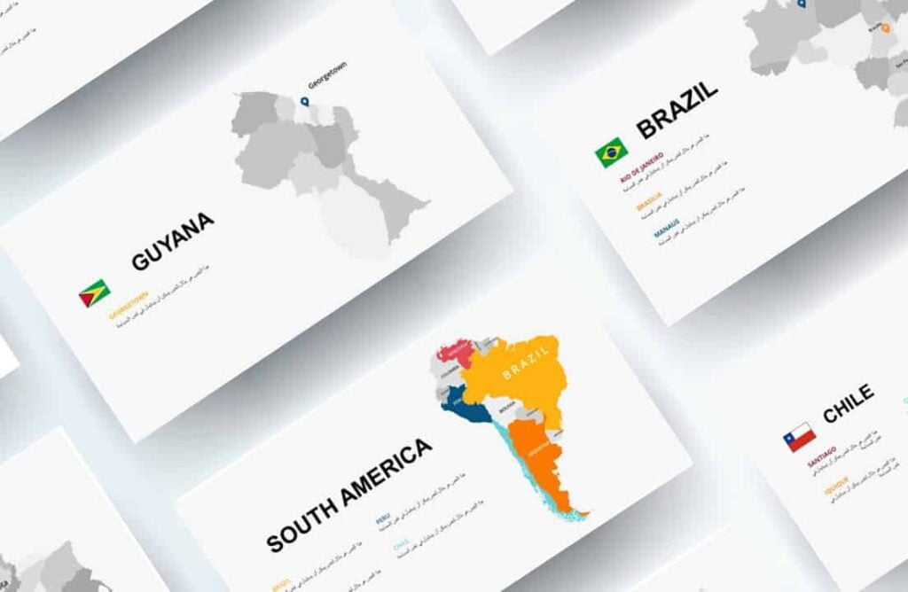
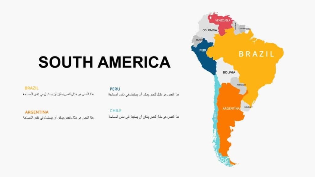
Maps of South American countries
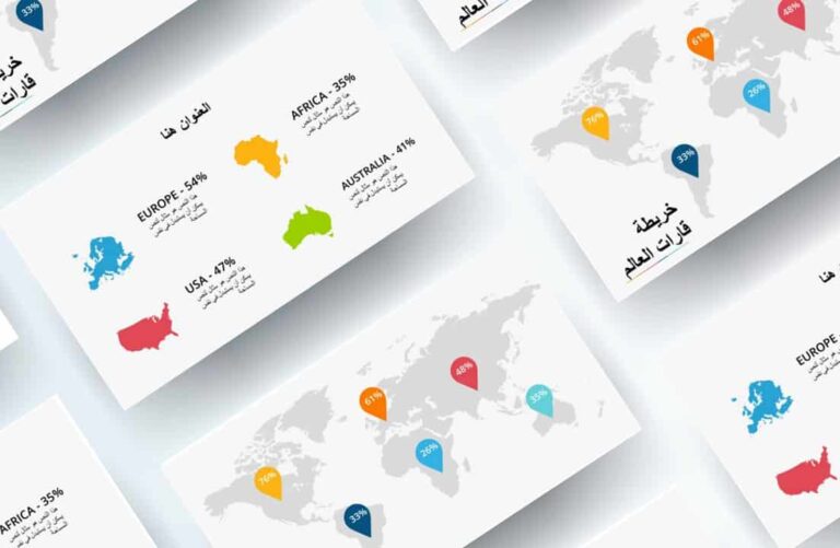
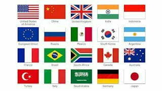
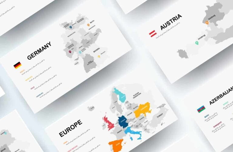
World maps
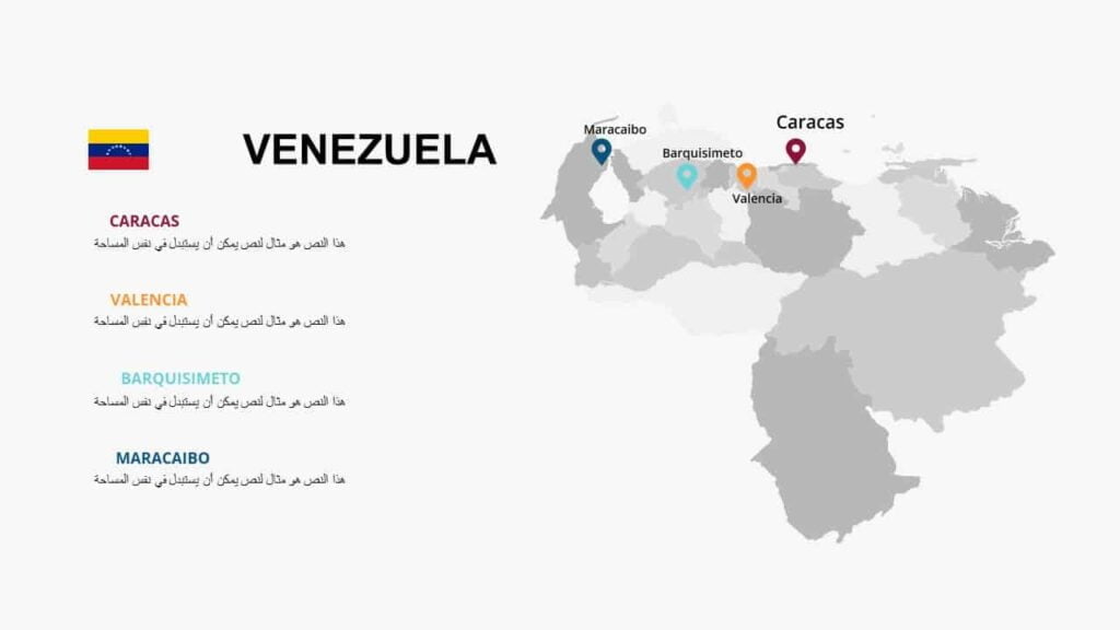
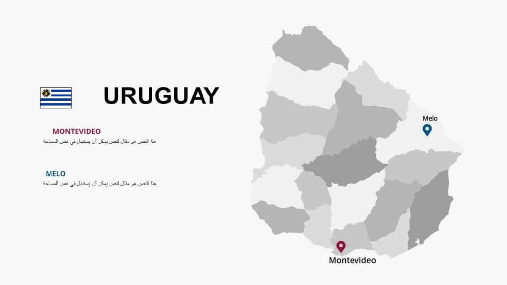
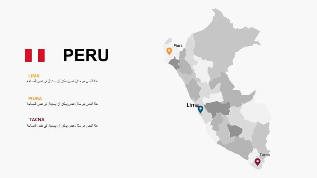
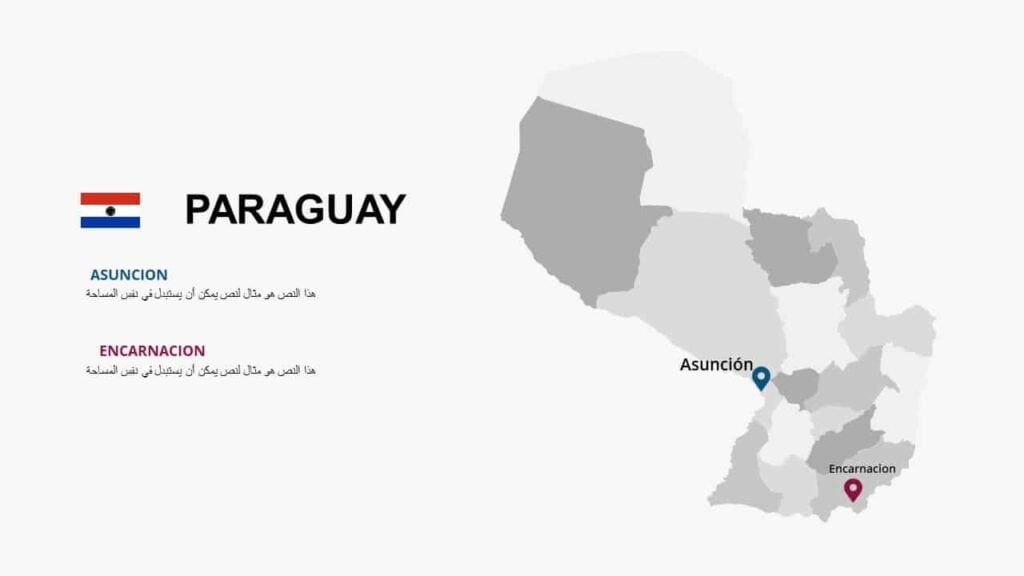
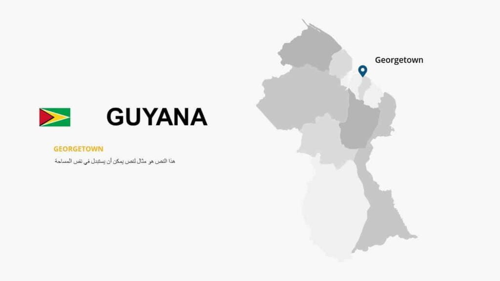
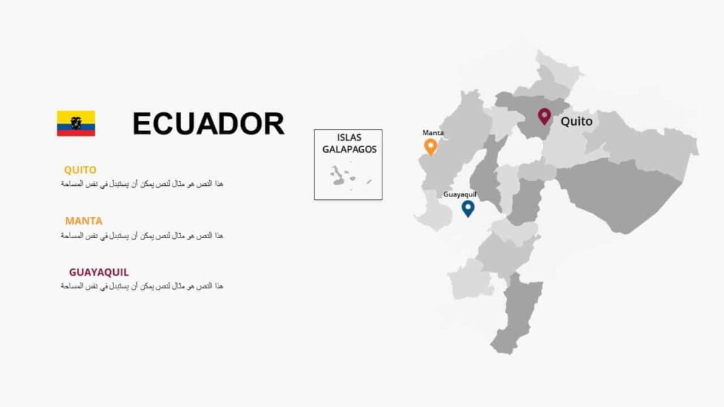
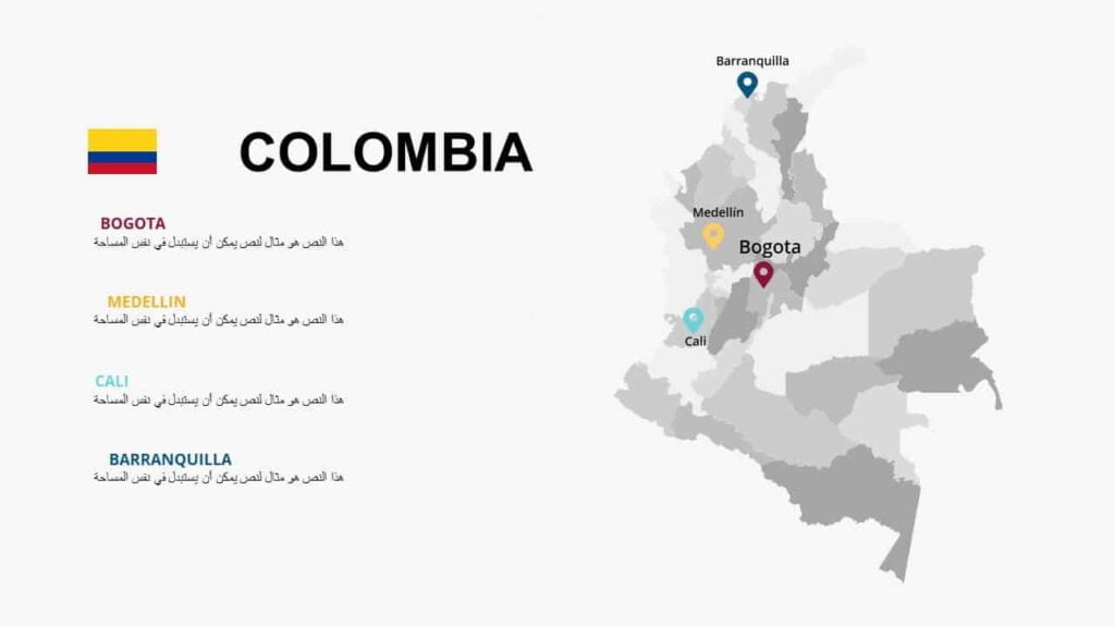
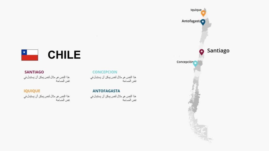
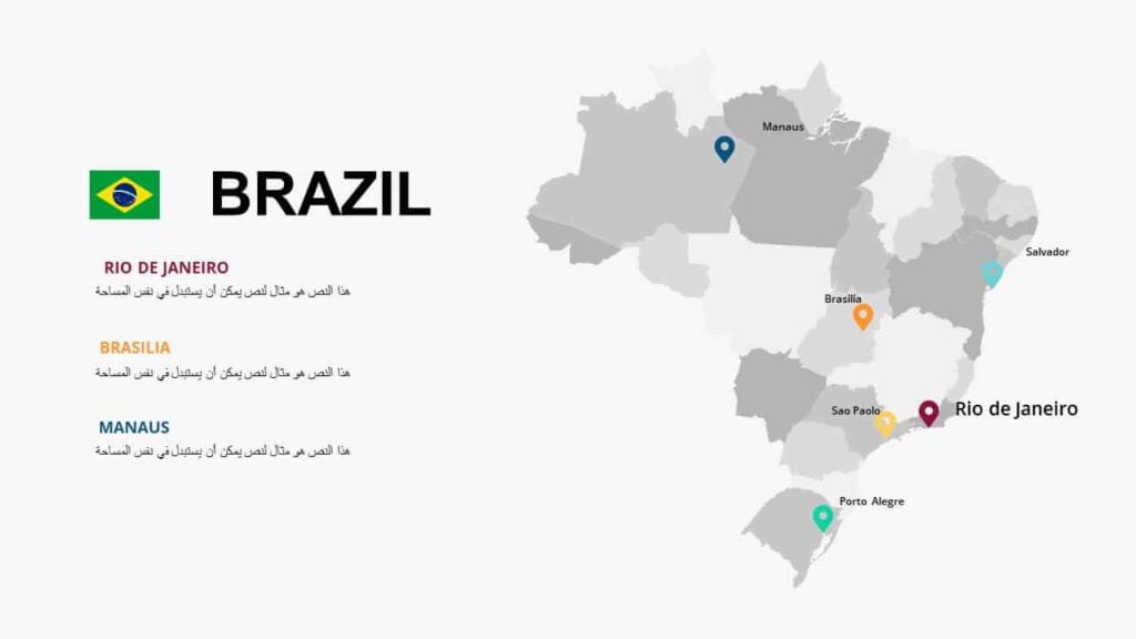
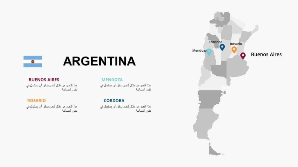
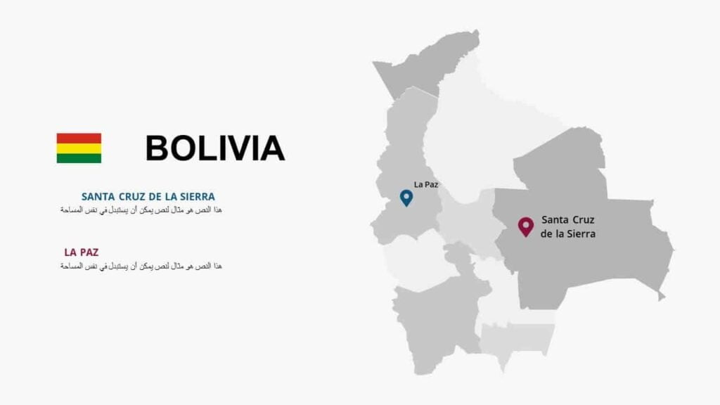
High-resolution maps of the countries of South America. These maps provide you with an overview of each country, as they generally depict the location, geographical shape, and borders of the country in a format that can be easily read during the presentation without details that may confuse the audience. .
Maps of South American countries
To follow the latest templates and tutorials, follow Our Twitter account
This template was designed by Inggez and no one has the right to republish or distribute template files or modified versions on other sites without written permission from Inggez